
Introduction


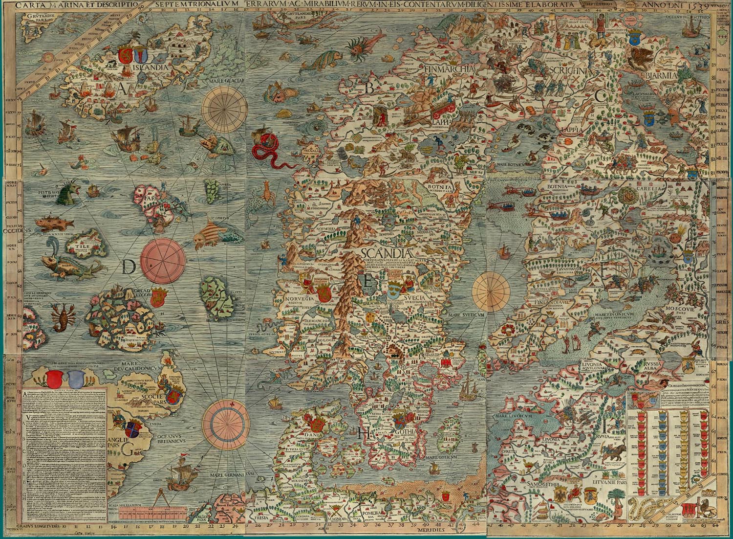
I am reading a fascinating book about the ocean depths by Susan Casey (Ref.1). She describes an ancient chart by Olaus Magnus of Sweden, depicting in graphic detail the oceans around Scandinavia and the monsters hiding in the depths, waiting to devour unsuspecting sailors (Ref.2)! I immediately thought of Joshua Slocum sailing alone around the world (Ref.3) and realized it was time to take a lunar, since the Full Moon, Capella and Jupiter were clearly visible. Figure 1 shows the night sky from Stellarium for Oct 1st at 22:00EDT (Ref.4).
Lunar Distance Method
The principle behind the Lunar Distance method is to find an accurate time when your watch is not calibrated. Early navigators used this method when reliable time pieces were not available. Tables were included in the Nautical Almanac giving GMT time vs. Lunar Distance. I find doing a Lunar brings together all the principles of Celestial Navigation and is an excellent exercise to do on a periodic basis to keep the ideas fresh in your mind (Ref.5).
Lunar Measurements

| Time EDT (UTC-4) | Arc Distance to Left Limb of Moon | Apparent Lunar Distance |
| 21:59:55 (01:59:55) | 41deg 46′ | 42deg 4.1′ |
| 22:03:00 (02:03:00) | 41deg 49′ | 42deg 7.1′ |
| 22:04:40 (02:04:40) | 41deg 48′ | 42deg 6.1′ |
| 22:02:18 (02:02:18) Average | 41deg 47.7′ Average | 42deg 5.8′ Average |
| Index Error 2′ off Moon SDapp = 16.1′ Add 18.1′ Arc Distance | Lunar Distance Geo = 42deg 7.2min (Calc) | Lunar Distance App = 42deg 5.8′ (Meas) Lunar Distance App = 42deg 8.2′ (Calc) Error = -2.4′ |


Figure 3 shows a diagram of the lunar measurement. The angle is measured between the centre of the CB Celestial body (in this case Capella) to the closest limb of the Moon. Figure 4 is a table of the three arc distances measured with the averages. The apparent Moon SD semi-diameter and Index error are added to give the Lunar Distance Apparent as seen from the Observer’s location on the Earth surface. Since it was a near full moon, measurements were made to the left hand limb which is clearly defined. I found the best way to take the measurement was to aim the scope at Capella and bring down the Moon to a tangent position on the left limb. Since the Moon was so bright, I had to use a sun shade.
I followed the same procedure as in Ref.5, since I don’t have a water horizon at my home location (use Hc instead of Ho). My apparent Lunar Distance was off by 2.4′. Figures 5 & 6 show the geocentric lunar distance for Capella at the exact time and for the whole day (Ref.6). Figure 7 is a spreadsheet with all the CelNav calculations as per Ref.7.

Celestial Navigation Basics & Equipment
Please send your comments, questions and suggestions to:
contact:

References
#1. – “The Underworld: Journey to the Depths of the Ocean”, Susan Casey
https://www.amazon.ca/dp/0385545576/
#2. – “Carta Marina”, Olaus Magnus Sweden
http://www.npm.ac.uk/rsdas/projects/carta_marina/carta_marina_small.jpg
#3. – “Sailing Alone Around the World”, Captain Joshua Slocum’
Dover, New York, 1956 0-486-20326-3
#4. – “Stellarium Astronomy Software”
http://stellarium.org/
#5. – “Lunar Distance DST to EST”
https://jeremyclark.ca/wp/nav/lunar-distance-dst-to-est/
#6. – “Navigational Algorithms”, Andres Ruiz Gonzalez,
https://sites.google.com/site/navigationalalgorithms/
#7. – “Celestial Navigation Basics & Equipment”
https://www.clarktelecommunications.com/celnav.htm